
Consultation on the Blue-Green Grid Strategy.
Community feedback dates 16 March - 30 April 2023
"Council is developing a strategy to create a network of blue and
green connections across the Inner West to help improve accessibility,
recreation, biodiversity, and lifestyle for all.
The Blue-Green
Grid Strategy will create a plan for providing easy, enjoyable walking
and cycling connections between the places you live and work (town
centres, schools, public transport hubs) with the places you relax and
recharge (harbours, rivers, parks, playgrounds).
The Strategy will
provide a detailed plan for how we can connect areas of high
environmental value, providing more viable areas of habitat and links to
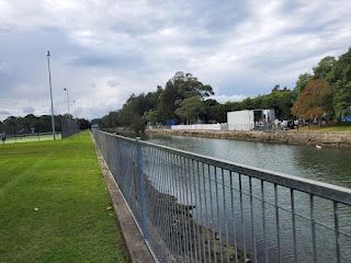
scenic landscapes. Popular walking tracks along the Cooks River and
Sydney Harbour will be enhanced and complemented by improved connections
through tree-lined streets and established urban parks." https://yoursay.innerwest.nsw.gov.au/planning-inner-wests-blue-green-grid
What is a Blue-Green Grid Strategy?
Blue features
Canals, creeks, rivers, wetlands, rain gardens, bioswales, stormwater channels, harbour foreshores
Green features
Parks, trees, playgrounds, playing fields and golf courses, bushland, private gardens, street verges, green walls, green roofs
Grid
Map of our town centres, schools, public transport hubs and residential areas connected by ‘blue’ and ‘green’ links
Strategy
Council’s plan to build and connect the grid over time
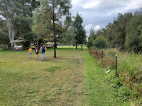 |
| Greenway |
 |
Along the Greenway
|
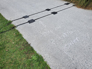 |
counter "step on for extra power"
|
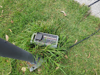 |
path counter
|
 |
Hawthorne Canal Greenway
|
 |
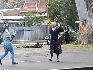
Cristo on the Greenway
|
 |
more Cristo
|
 |
Greenway, Haberfield
|
 Consultation on the Blue-Green Grid Strategy.


Comments
Post a Comment